It creates new visual expressions using drones and infrastructure applications such as surveying and disaster prevention use.
At the same time, it serves as an operational window for a national certification testing center for the understanding and popularization of drones.
Under a business alliance with the Kyoto Drone Association, we aim to further develop drones.
Service Contents
- Creative sector
Shooting, editing, and disseminating video using drones. - Educational sector
System operation and window services for the National Licensing Examination Center.
Promotion, education, and provision of technology for drones in the DX domain. - Infrastructure sector
Contracts for surveying, field work, and maintenance using drones. - Entertainment sector
Planning and operation of event content utilizing drones.
Opening up new possibilities from an aerial perspective.
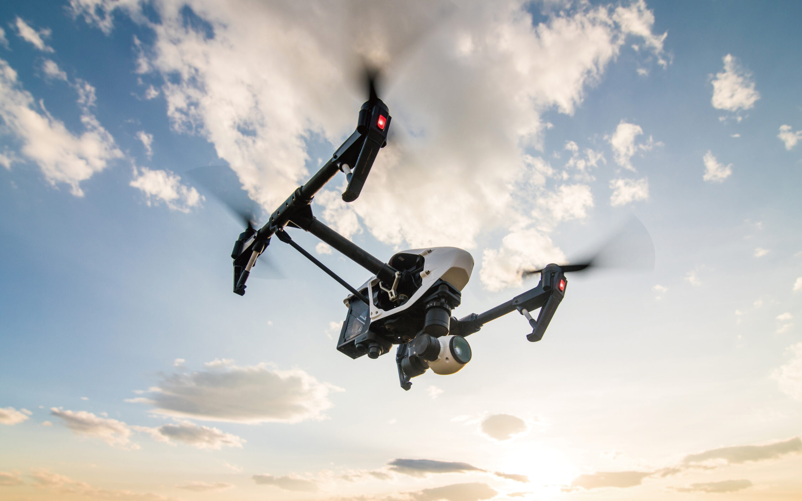
 Drones make it possible to collect information from previously unreachable viewpoints and locations. They can be used for a wide variety of purposes, such as checking the progress of construction sites, improving the efficiency of agriculture, and video production.
In addition to aerial photography, we provide support for operational know-how and data analysis in a way that is useful for business.


